Drones Survey
Drone Photogrammetry (https://en.wikipedia.org/wiki/Photogrammetry) is a survey technique which allow to get the position of objects and buildings through the acquisition and analysis of photos of video frames creating a very accurate 3d model.
Thanks to drone survey it is possible to recreate a tridimensional digital model of an area in a short amount of time, with realistic and sharp details.
Artax Lab is able to use this technique and to apply it in Architecture and Topographic survey.
Building constructor professionals and land architecture are the main beneficiary of this consolidated and reliable technique.
Drone photogrammetric survey: certified license and vanguard equipment
We are ARP certified for all the over flight operations respecting the limits imposed by the law.
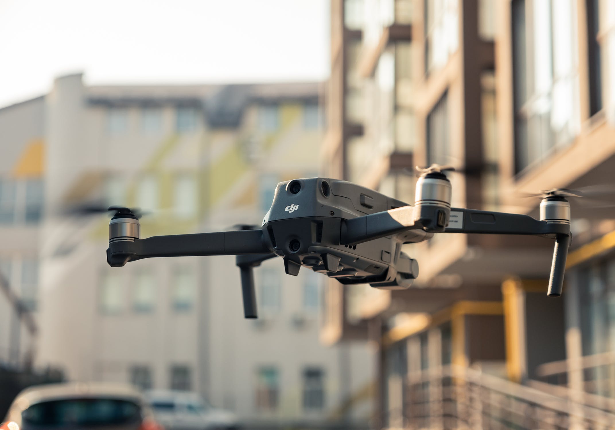
Drone survey are made using Mavic 2 Pro (https://www.dji.com/fr/mavic-2). This drone is technological advanced from not only a DJI point of view but also photogrammetry wise. Thanks to its Hasselblad L1D-20c 20 megapixel camera, the drone can capture incredible air shots with excellence chromatic details.
Category
Digital services


